 The Verna Dunshee Loop is pretty much at the very top of Mt. Tam and it’s hands down one of the best kept secrets of the Bay Area.
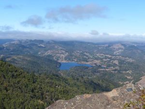
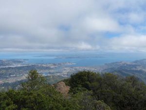
Circling the East Peak of Mount Tamalpais, the loop is about a mile long total and paved. It offers spectacular views of the Bay Area seen in few other places: Mt. Diablo, San Francisco, Marin, the ocean, the east bay, and on good days even Mt. St. Helena. On rare and very clear days, you can see the snow-covered Sierra Nevada, 150 miles away!
“Just makin up poems in my head as I climb toward Mount Tamalpais. See up there, as beautiful a mountain as you’ll see anywhere in the world, a beautiful shape to it, I really love Tamalpais.”
– The Dharma Bums, by Jack Kerouac
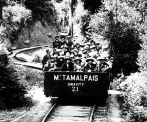
At the end (or beginning, depending which direction you start, but you should start to the right of the restrooms), there is the an interpretive rail barn that contains historical photos of the history of the Mt Tamalpais Scenic Railway, a fascinating operation of Gravity Cars that brought the rich up the mountain for dining and dancing in a beautiful summit lodge. The railway ended about 1925 once cars started taking over, and the lodge was commandeered by the Army during WWII.
Those without hip problems can enjoy a further bit of the walk: the Plankwalk Trail, a rocky incline that leads you to the very tippy top of the East Peak, where the Gardener fire lookout is at 2,571 ft. elevation. Keep walking around the lookout and climb some rocks. On a clear day you can see nine different counties!
My 71 year old dad had no problem climbing to the lookout on Plankwalk Trail, but he’s pretty fit.
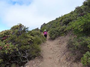
This is PlankWalk–steep and rocky. But the four year old and my 71 year old dad had no problems.
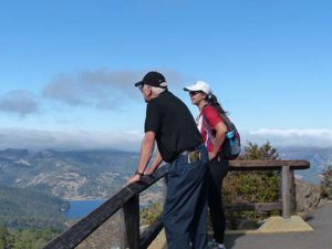
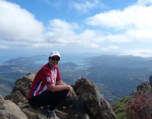
Atop the Bay Area!
Note that Mt. Tam is a California State Park, and as such parking is paid via day use fee–cash only, about $8 per car. There is also a teeny little Visitor’s Center (I’m a sucker for Visitor’s Centers) with plenty of picnic tables around it. The lovely ladies in the Visitor’s Center will give you maps and brochures.
More Information
How to Get There
The East Peak can be hard to find, so follow these directions carefully along with your GPS.
- From Mill Valley, take Highway 1/Shoreline Highway toward Stinson Beach.
- Turn right on Panoramic Highway.
- Stay on Panoramic Highway, bearing a slight left when you see the sign for Muir Woods (don’t take that road though).
- Turn right on Pan Toll Road
- Turn right on Ridgecrest Blvd, which turns into East Ridgecrest Blvd
- End at the parking lot.
- Yes, this takes a long time to drive. You will go down and then you will go up. Don’t get discouraged.

