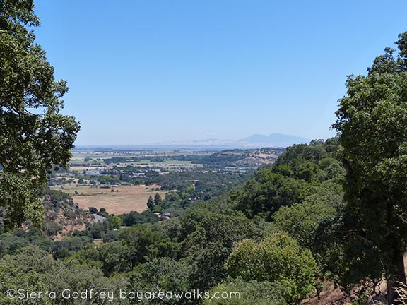
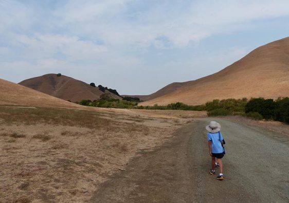
Years ago, before we had kids, Ken and I went mountain biking at Rockville. That was the kind of thing we did back then, before we fell hopelessly out of shape and had kids, which made mountain biking a less likely leisure activity of choice. I remember Rockville as an extraordinary park that had an incredible payoff when you reached the top of the initial ascent. Because Rockville is a massive parkland at the top of a mountain. Yes! Now, over 10 years later, I’m happy to say Rockville is still as stunning as it ever was.
It’s also a great walk for kids.
I confess, I love a marshy walk. Marshes are wonderful for bird-sighting, and the sounds of chirping can come from anywhere. Here we are on one of the many boardwalks, listening to baby birds chirping in the tall grass, totally invisible:
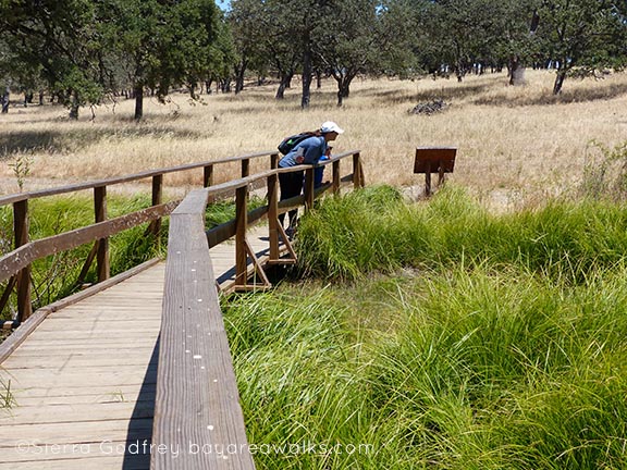
Rockville has ponds and a lake atop a hill, views of Mt. Diablo, and so many trails that they look like a subway system map in a major city. You can pretty much go on any trail and explore around the park, but I have a good one that is great for the family and not too strenuous. Also, it passes a bathroom and that is always key.
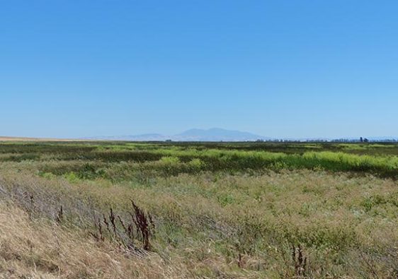
Here you can see Mt. Diablo off in the hazy distance:
Rockville is a bird paradise; we saw a ton of wonderful different birds engaged in various acts of savage hunting. A great egret ate a duckling, causing furor among the blackbirds in the marsh.
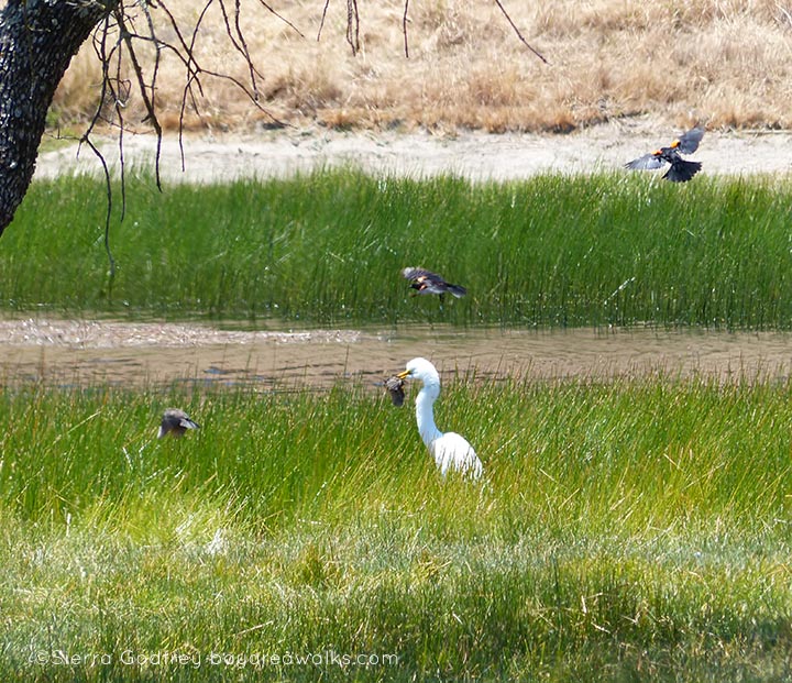
“What?” the great egret seemed to say. “Bird’s gotta eat and the duckling was juicy.”
“MURDERER!” the blackbirds screamed.
The great egret simply licked his bill like a giant jerk and went about his day.
But the murder and gorging fest wasn’t over.
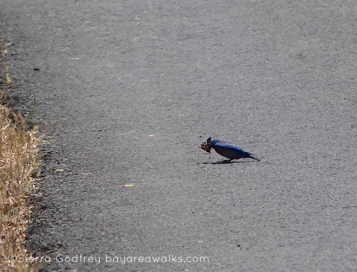
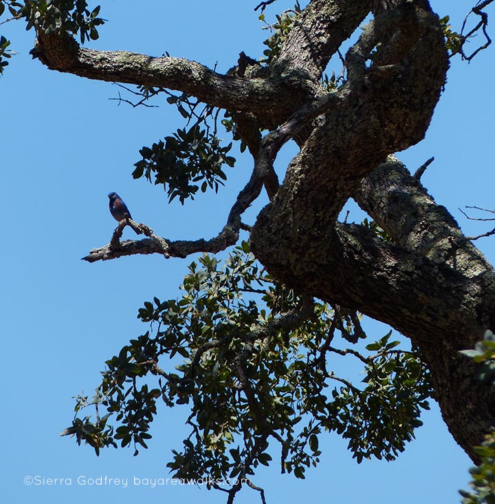
A Western bluebird caught a common buckeye butterfly and then struggled to chomp it down.
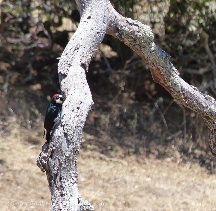
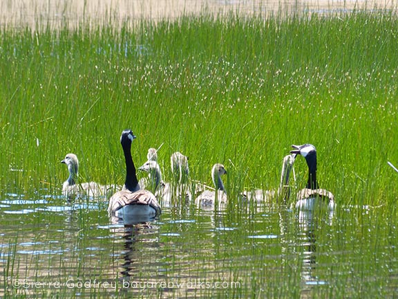
But also, a woodpecker regarded us from his perch on a dead tree, and a host of little Canadian goose goslings took to the water under the guidance of their parents. A full list of the animals we saw is below as usual.
Our Trail
See the bottom of this post for directions to the park.
- From the main parking lot (there is a per-hiker day use pass you’ll need to get from the self-serve station), you’ll head up on the main trail, called Rockville Trail, but marked “Main trail” on path signage. It’s a switchback, rocky dirty path and lots of mountain bikers use it in addition to hikers.
- At the top, there is an informational kiosk and, to your left, a bathroom. Ahead is a small pond (Mason Pond, also called Lower Lake on some maps).
- Continue on past the pond toward the lake (signs reading “Lake” will point you). You’ll come out past some mansions, inexplicably, and a sign pointing to a left-bearing trail called Rock Garden Trail. Don’t take that one. Stay on and head up to the right.
- The lake will come into view. Find a way into the fence (there are plenty) and take a while to walk around the lake. There are tons of birds to be seen and little platforms in the middle of the lake for turtles and ducks.
- Head north on the eastern side of the lake on the Ridge Trail. Follow that north of the lake, and veer right when it forks. (You will still be on the Bay Area Ridge Trail).
- You will have the choice to take a dirt path, Old Ranch Road Trail, or walk over to the paved road. While I love a dirt path, take the paved road (still the Ridge Trail). This path affords stunning views of Mt. Diablo.
- You are now heading south again, and you will comeback to the kiosk and Mason Pond. Head back down the Rockville Trail to the parking lot.
Again, there are many different ways to walk this park and any trail is wonderful, but the ones above created a lovely loop that was just long enough for the adults without producing too much whining from the 4 year old.
Animals
- Canadian geese
- Western bluebird
- Great egret
- Downy woodpecker
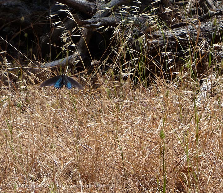
- Pipevine swallowtail butterfly
- Common buckeye butterfly
- Turtles
- Cows
More Information
You’re going to want to print out the trail map now, although a small amount of brochures are available at the park kiosks (one by the main parking lot and another at the top of the Rockville Trail). The trail map is invaluable.
- City of Fairfield Rockville park page (has current events)
- Trail map in 8 x 11 (PDF)
- Trail map poster size (PDF)
- Ridgetrail.org page on Rockville
How to Get There
- From 80 east past Vallejo, take the Suisun Valley Road exit and go left off the freeway (from 80 west, go right)
- Go 1.7 miles to Rockville Road, turn left
- About 3-4 miles, the park will be on the right. Park in the lot if possible
- There is a per-hiker (and per-dog) day use pass ($3 per person; $1 per dog); carry the pass with you. The machine takes credit card and cash.

